OK, let’s look at “solar” in the
online interactive map from
Joel Achenbach’s story about
The 21st Century Grid
in the July 2010 National Geographic.
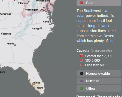
It’s easy to count the proposed solar power plants in Georgia: zero.
Yet there’s one in Virginia, one in Maryland, and at least three in Florida,
adding to the
currently largest solar plant in the country near De Soto, Florida.
The map legend repeats the GEFA canard that
The Southwest is a solar-power hotbed.
To supplement fossil fuel plants,
long-distance transmission lines stretch from the Mojave Destert,
which has plenty of sun.

Yes, that’s true, but what about this.
At least three solar plants are proposed around San Antonio and Austin,
which are not in the area of the southwest the map blurb is referring to.
In fact, the largest solar plant in the country is proposed for Austin.
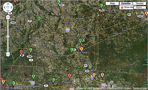
Austin is one degree of latitude south of Valdosta,
and has been leading the country in solar deployment for many years now.
Texas in general
almost doubled renewable energy generation between 2004 and 2006
while Georgia did nothing.
Texas hasn’t stopped.
When will Georgia start?
The Austin solar solution doesn’t require massive new power lines, either.
It’s mostly been accomplished with solar panels on houses and business roofs;
panels that wouldn’t show up on National Geographic’s map because they’re
small and distributed.
Which is the point:
they generate power where it’s needed, and at peak times when it’s needed,
namely when it’s hot and sunny out and air conditioners are running on max.
There’s no reason Georgia can’t do the same.
I would continue this series by showing wind generation proposed for Georgia,
but there isn’t any of that, either.
There could be, off the coast.
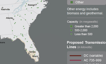
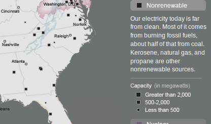
Which makes more sense: polluting our air with more coal and biomass plants,
or getting a move on with solar and wind?
-jsq


