 Two citizens from Hahira couldn’t speak in Citizens Wishing
to Be Heard, but the Chairman
would go into the private board room out of camera range afterwards
to speak to them.
The Chairman did
describe a statement about the Sabal Trail pipeline.
Two citizens from Hahira couldn’t speak in Citizens Wishing
to Be Heard, but the Chairman
would go into the private board room out of camera range afterwards
to speak to them.
The Chairman did
describe a statement about the Sabal Trail pipeline.
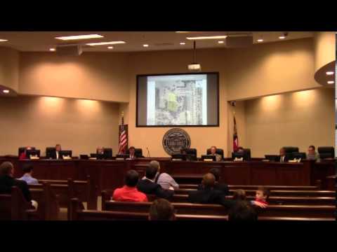
Veterinarian Amanda Hall didn’t appear but was appointed to the Dangerous Dog Board. They objected to the Hahira annexation request. They approved a bid for an mobile emergency bypass pump on a trailer, a computer lease purchase agreement, and two Juvenile Justice grant application items, for Continuation and for Enhancement (more about that). And all four remaining voting Commissioners showed up.
Here’s the agenda, with links to the videos and a few notes.
LOWNDES COUNTY BOARD OF COMMISSIONERSContinue reading
PROPOSED AGENDA
WORK SESSION, MONDAY, APRIL 21, 2014, 8:30 a.m.
REGULAR SESSION, TUESDAY, APRIL 22, 2014, 5:30 p.m.
327 N. Ashley Street — 2nd Floor
 Less than two years after