 They vote Tuesday 5:30 PM.
Monday morning at the Work Session,
after some resistance from a Commissioner, surprisingly Chairman Bill Slaughter
argued for
paying the $40,000 to match Valdosta on the LiDAR flood maps
to prevent loss of life and property damage.
He even said “folks that live in our cities are Lowndes County Citizens as well.”
Emergency Management Director Ashley Tye answered questions the Commissioners didn’t think to ask about prisoner recidivism. Nothing new about the REZ-2016-12 Salami, 3320 Bemiss Rd community well for a home school science facility; see also the LAKE video of the June 27th 2016 Planning Commission review of this rezoning request.
Still no explanation of why there’s a vacancy on the South Georgia Community Service Board nor why Chairman Bill Slaughter is who they’re going to appoint. Reappointing Randall Crews to the Valdosta- Lowndes County Construction Board of Adjustments and Appeals and Paul Alvarado to the Valdosta/Lowndes County Zoning Board of Appeals (ZBOA).
Below are links to each LAKE video of the Monday June 11th 2016 Lowndes County Commission Work Session, followed by a video playlist. See also the agenda.
-
1. Call to Order 4. Minutes for Approval
-
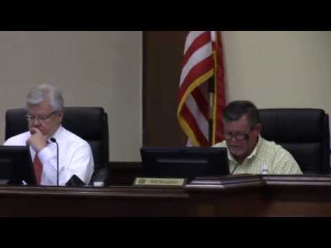
5.a. South Georgia Community Service Board
-
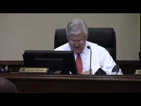
5.b. Valdosta- Lowndes County Construction Board of Adjustments and Appeals
-
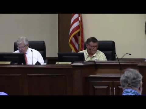
5.c. Valdosta/Lowndes County Zoning Board of Appeals (ZBOA)

-
6.a. REZ-2016-12 Salami, 3320 Bemiss Rd, R-21 to C-G, Comm. Water & Sewer

-
7.a. Beer, Wine & Liquor License, Two Bros, 3954 Old U.S. Hwy. 41 N.

-
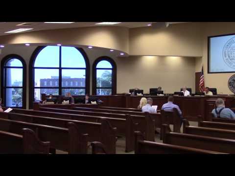
7.b. Grants Management Policy and Procedures
-
7.c. Evidence Based Associates Service Agreement

Video. Emergency Management Director Ashley Tye said they didn’t get full request, but did get $458,592, which is enough to continue to have two full time therapists and to hire a local supervisor instead of using one in Albany. Company is opening office in Lowndes County because of this, which is a new business in the county.
-
7.c. cont. Evidence Based Associates Service Agreement

Video. Ashley Tye continued by answering questions the Commissioners didn’t think to ask. In 2012 86 local youth “were sent off to some type of confinement.” Purpose of program is to reduce that number, and this year so far only 38 such youth. Each year (this is third year) have reduced by at least 50% from before program, so substantial cost savings because fewer youth going to jail, getting treated instead. Recidivism is around 10-11%. Not seeing the same people over and over like before. So statistics indicate program is having intended outcome.
Commissioner Joyce Evans wanted to know where the Lowndes County office of Evidence Based Associates will be. Answer: still unknown; probably off of Bemiss Road, but it’s just an administrative office anyway; prisoners wouldn’t be going there.
-
7.d. Withlacoochee River Flood Inundation Map Project

Video. Emergency Management Director Ashley Tye said if for example the gage at Skipper Bridge Road was at 212 feet, an online map derived from the LiDAR data would show shading at that level, which would provide advance warning and additional information for informed decisions. He said Emily Davenport with Valdosta Engineering about USGS funding that would require an $80,000 match from applicants, paid on a quarterly basis. The City proposes to serve as applicant agent if county will provide half of the match. Subject area for the inundation map is Skipper Bridge Road down past US 133. Park Lane, the Y, and those areas on Gornto that would be heavily affected in the city would be included.
Commissioner Mark Wisenbaker said he was interested in “not woods, but houses, subdivisions”, and he thought most of those were inside the Valdosta City Limits. Tye said Foxborough was an affected subdivision in the unincorporated county, and houses in the Skipper Bridge area. Also the state prison and the county lift station there at US 133.
It was at this point the Chairman interjected that people in the city are also citizens of Lowndes County.
Tye noted that he handles that for all five cities in Lowndes County as well as for the unincorporated area, so this flood map tool would be very helpful in warning people when to evacuate. He also explained that a 500 year flood means 5% chance of such an event in any given year.
-
8.a. Bid for Pest Control Services

-
9. Reports – County Manager
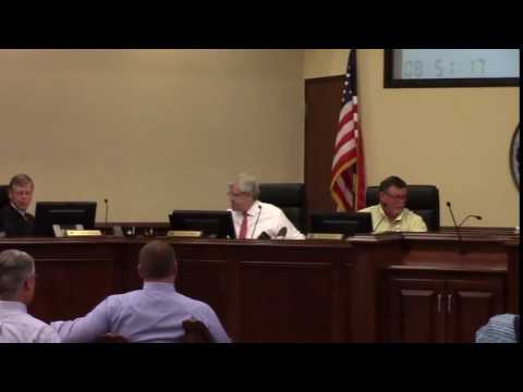
Here’s a video playlist:
Videos: 3 appointments, 1 well public hearing, Withlacoochee River Flood Map
Work Session, Lowndes County Commission (LCC),
Video by Gretchen Quarterman for Lowndes Area Knowledge Exchange (LAKE),
Valdosta, Lowndes County, Georgia, July 11, 2016.
-jsq
Short Link:
Pingback: 7.b. Grants Management Policy and Procedures @ LCC 2016-07-11 | Bitrixme Blog
Pingback: Road Closures in 2009 Flood, Lowndes County, GA | WWALS Watershed Coalition
Pingback: Videos: 3 appointments, 1 well public hearing, Withlacoochee River Flood Map @ LCC 2016-07-12 | On the LAKE front