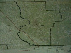
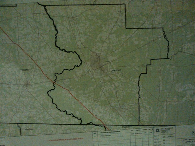
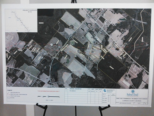
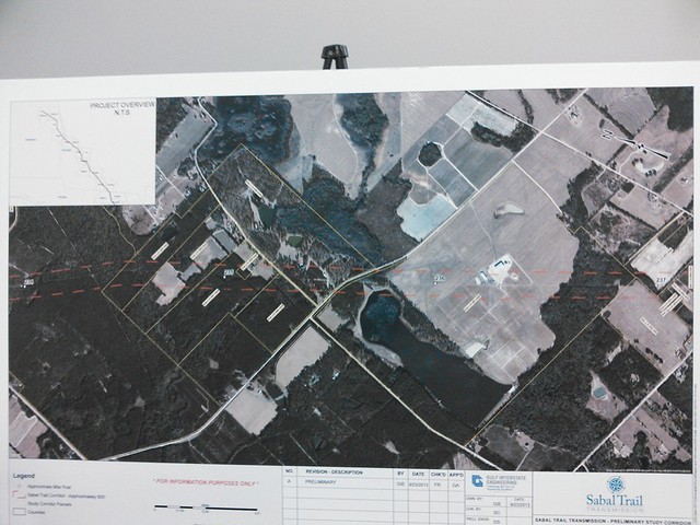
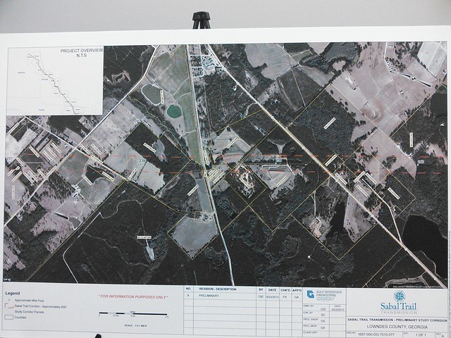
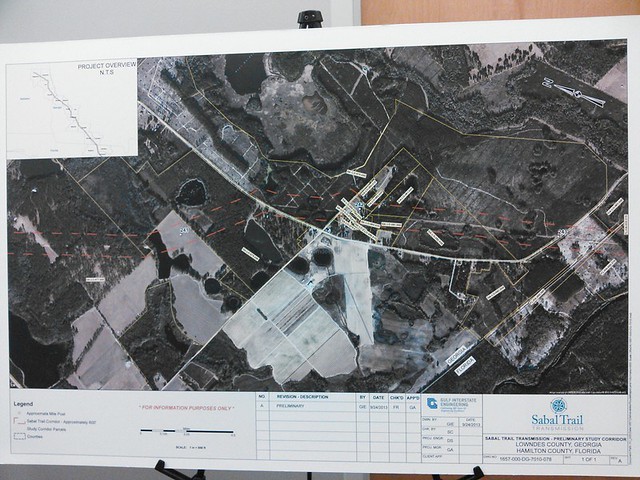
 The path of the pipeline through Lowndes County
(and part of Brooks and Hamilton) is shown in these
maps that were on easels at the
Spectra presentation at Wiregrass Tech last night.
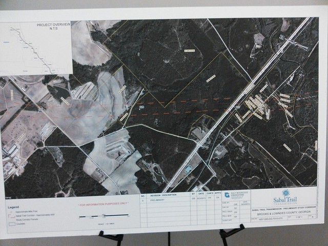
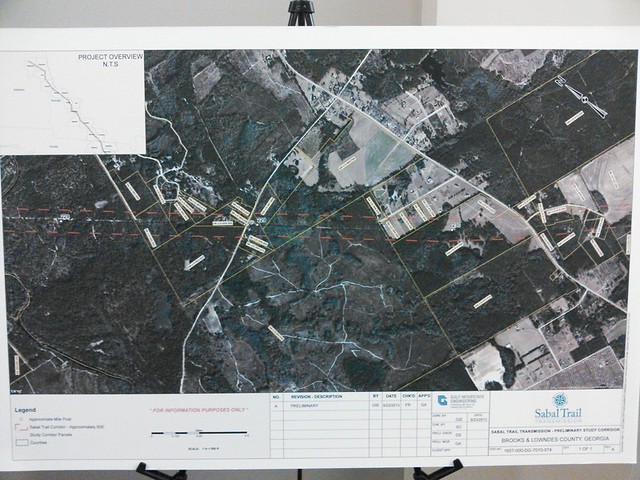
Brooks @ US 84 and Withlacoochee River:
Lowndes @ Spain Ferry Road:
Lowndes @ Knights Ferry Road:
Lowndes @ Ousley Road:
Lowndes @ Railroad Avenue:
Lowndes @ Jumping Gully Road:
Hamilton @ 16th Avenue:
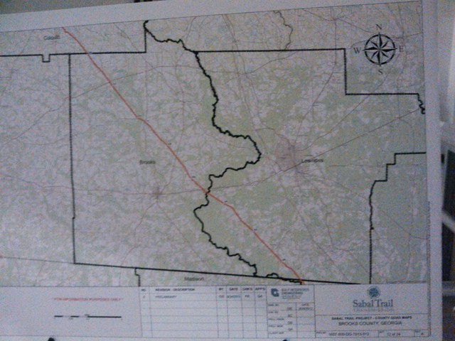
Brooks County:
Lowndes County:
Pictures by John S. Quarterman for Lowndes Area Knowledge Exchange (LAKE),
Valdosta, Lowndes County, Georgia, 16 October 2013.
It is possible to match these maps (click on each map for a bigger image) with the Lowndes County Tax Assessors maps, as I did in a previous example. And from the tax assessors maps (also available for Brooks County and Hamilton County, Florida) the names and addresses of the property owners are available.
-jsq
Short Link:

Pingback: Solar and wind cheaper than fossil fuels –more evidence | On the LAKE front
Pingback: Another October LAKE meeting Tuesday 22 October 2013 | On the LAKE front
Pingback: Pine trees, home sites, and pipeline rights of way –Tim Bland to FERC | SpectraBusters