I went to the Spectra Pipeline meeting in Moultrie tonight, where many people in blue shirts saying Sabal Trail, including Brian Fahrenthold (who volunteered that I could take pictures of maps) and Andrea Grover (who will be in Valdosta tomorrow), were happy to answer questions from a landowner such as myself.
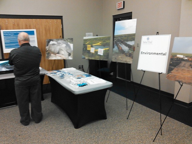
Here’s just part of the display:
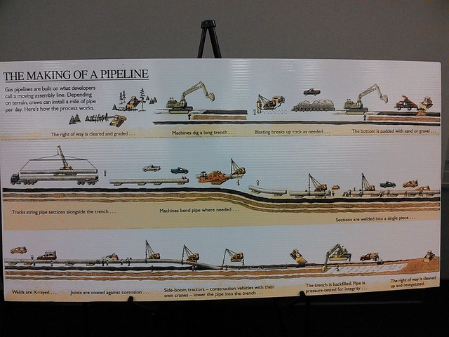
The Making of a Pipeline:
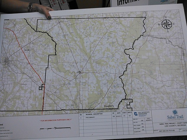
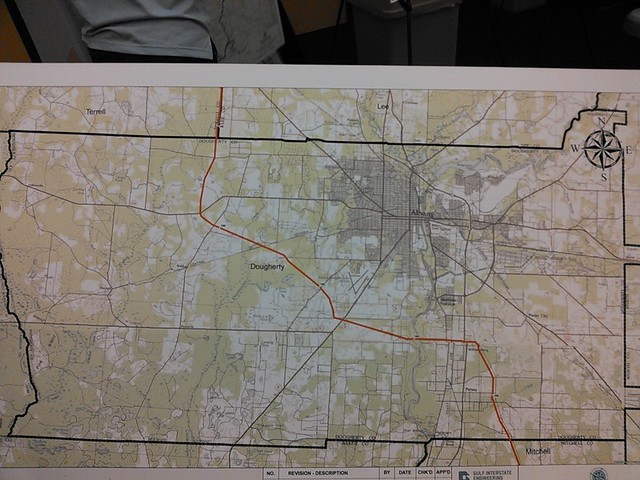
I asked what was special about Lee County that the pipeline avoided it. Andrea Grover obligingly pulled this map out of a box of maps they’d used in previous meetings and demonstrated that the pipeline doesn’t completely avoid Lee County; it does pass through one piece of it:
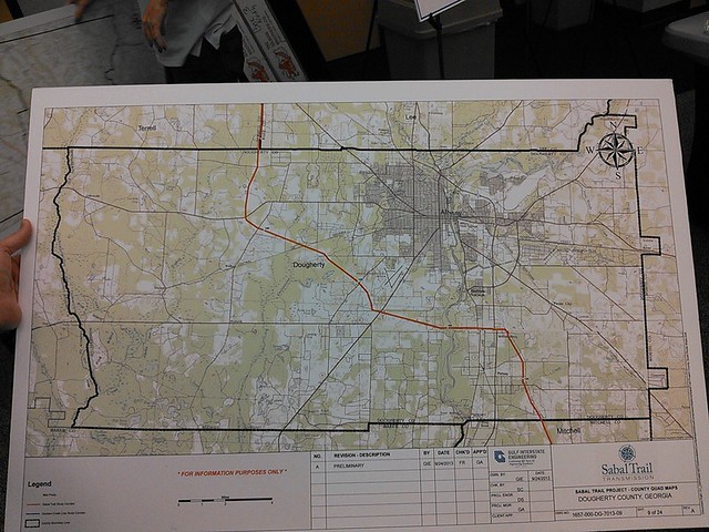
The pipeline then dives into Dougherty County. I really couldn’t follow the reasons they gave for that, which seemed to include avoiding population centers (but it heads for Albany). I think they concluded the main reason was to meet up with another, pre-existing, pipeline right of way.
By “they” I mean there were so few Colquitt County locals at the Moultrie meeting by the time I arrived (45 minutes late) that any question resulted in half a dozen congenial blue-shirted reps gathering around to answer. Dougherty County with labels:
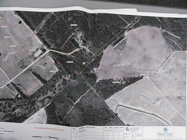
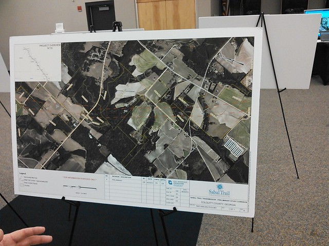
They had on easels maps of specific plots the pipeline route currently passes through. The main point of the meeting seemed to be to talk to the specific landowners who own those plots. Example plot 1:
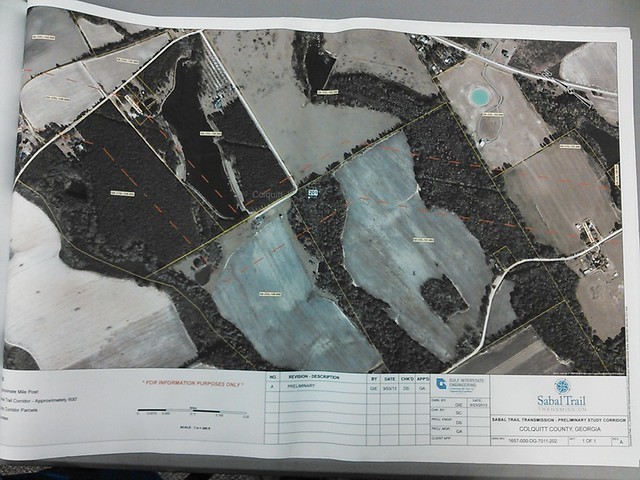
On tables they had books of maps along the route. Pipeline avoiding a pond:
Example plot 3:
Pictures by John S. Quarterman for Lowndes Area Knowledge Exchange (LAKE),
Valdosta, Lowndes County, Georgia, 15 October 2013.
To be continued.
-jsq
Short Link:
Pingback: Sabal Trail Pipeline Context maps –Spectra Energy and FPL | On the LAKE front
Pingback: Pipeline dog and pony in Albany Monday | On the LAKE front